
Free Hexagonal Grid Generator
Lay a hexagonal grid over any battle map or image instantly with our 100% free generator. Choose pointy-top or flat-top at any density, made for D&D maps, game boards and honeycomb patterns, then export SVG or 600 DPI in seconds. No signup, no downloads needed. Trusted by 60,000+ artists worldwide.
Regular hexagons, tiled
Six-sided cells packed edge to edge with no gaps. Every cell has six equidistant neighbours rather than a square's four-plus-four, which is why hexes are the standard for tabletop movement.
2 controls, not a fixed picture
Set density and flat-top orientation. Every one is live on the canvas.
Stacks with lattices & pattern
Overlays combine, each carrying its own transform, so this one can sit under or over dot grid, triangular and radial, and 4 more in the same set.
Tiles that meet exactly
The tiling is computed, so printed sheets butt together without drift. PDF at true size for play, SVG for cutting or plotting.
| Ctrl + Z | Undo |
| Ctrl + Y | Redo |
| Esc | Deselect overlay |
| Alt + drag | Free positioning (no snap) |
| Ctrl + scroll | Zoom canvas |
| Ctrl + P | |
| ? | Show this help |
Pointy-top or flat-top, at whatever density the terrain wants, tiled cleanly past every edge — over your own map, photograph or blank sheet.
The hex grid generator draws one of the 82 composition overlays in Grid Maker Pro, and the rest stack on the same image.
- 6 equal neighbours
- Pointy or flat top
- SVG + 600 DPI export
- Nothing uploaded
What is a hexagonal grid?
The hex grid generator is a free browser tool that draws a hexagonal grid over a map, photograph or blank canvas. One density control sets the cell size — counted as hexagons across the canvas's short side — and one switch changes between the two standard layouts, pointy-top and flat-top. The grid is drawn a cell beyond every edge so it meets the frame cleanly instead of stopping short. Export is vector SVG or raster to 600 DPI at a real paper size, and nothing is uploaded.

How to put a hex grid over a map
A hex lattice over a drawn map, flat-top or pointy-top, at the density your table needs. Export it at print resolution and the cells stay countable on paper.
Load the map
The hexagonal grid needs a ground: drop in the map you have drawn, a scan, a satellite crop or a photograph. Or start on the blank canvas at your paper size if you are making hex paper to draw on.
JPG · PNG · GIF · WEBP
Pick the orientation, then the density
Choose pointy-top or flat-top — the choice is about which direction the grid moves cleanly in, not about looks — then set the density until the cells are the size the terrain needs.
Density · Flat-top orientation
Fit it and export
Drag and scale the grid so the cells land where you want them relative to features on the map. Export SVG for vector, or a raster up to 600 DPI sized to your sheet.
PNG · JPG · PDF · SVG · up to 600 DPI
Three steps, about a minute. No signup, no upload.
What the Hex Grid Generator does
Six neighbours, all the same distance
A hexagonal grid puts all six neighbours one step away, which is the whole reason hexes exist. On a square grid a diagonal neighbour is 1.41 cells away while an orthogonal one is 1, so movement is either wrong or needs a rule to patch it. Every hex neighbour is exactly one cell away.
Both orientations, one switch
Pointy-top hexes move cleanly east and west and stagger north-south; flat-top does the reverse. The right choice depends on the axis your map is organised along, and it is a switch rather than a redraw.
Tiles past the edges
The grid is drawn a full cell beyond every edge, so the frame cuts through hexes instead of ending on a ragged row of whole ones. That is how a printed map sheet is supposed to look, and it is the detail cheap generators skip.
Over the map you already have
Drag, scale and rotate the grid over an existing map so the cells fall where the terrain wants them — a river along a cell edge, a settlement at a centre. Redrawing a map to fit a fixed grid is the harder way round.
Readable over the terrain
Per-overlay colour and opacity, and an eyedropper that samples the map, so the grid reads over both a dark forest and a pale sea without dominating either.
Printable at table size
Raster export is sized from the paper format and DPI you pick, up to 600, so an A3 sheet prints at A3 with the cells the size you set. SVG export keeps the honeycomb as vector for a cutter or a plotter.
Hexagonal grid examples: four ways the grid reads
Hexagonal grid vs printable hex paper vs a map editor's built-in grid
| Option | Both orientations | Cell size you choose | Over your own map | Cost |
|---|---|---|---|---|
| Grid Maker Prothis tool | Yesone switch | Yesby density | Yeswith independent transform | Free |
| Printable hex paper | One or the other | Fixed by the file | No | Free or paid |
| A map editor's built-in grid | Usually | Yes | Only inside that editor | Varies |
| Drawing it with a hex ruler | Yes | Yes | On the sheet itself | Time |
Who a hexagonal grid is for: planes that have to be divided into equal cells
How a hexagonal grid works — Why hexagons, which way up, and how the density actually behaves
The hexagonal grid is the one of the 82 composition overlays chosen for a reason rather than out of habit. Here is what that reason is, the one real decision the overlay asks you to make, and exactly how the density control behaves — including where it does something you might not expect.
A square grid has a problem it cannot solve, and it matters to anything that moves cell by cell: the eight cells around a square are not all the same distance away. Four share an edge and sit one unit off; four share only a corner and sit 1.414 units off. Every game, every pathfinding routine and every movement rule built on squares has to decide what to do about that, and all the available answers are compromises.
A hexagon has six neighbours and every one of them shares an edge, at the same distance. Movement costs one, in any direction. That single property is why hex maps took over tabletop wargaming in the early 1960s and never left, and why they turn up in strategy games, in territory modelling and anywhere a plane has to be divided into cells that behave alike.
Squares are easier to draw and harder to play on. Hexagons are the other way round, which is why the drawing should be automated.
Pointy-top or flat-top is a real decision
The two standard layouts differ by a thirty-degree rotation, and the difference is not cosmetic. A pointy-top grid has flat rows running left to right, so a map organised along an east-west axis reads cleanly across and staggers going up and down. A flat-top grid has flat columns, so it reads cleanly up and down and staggers sideways.
Pick the one that matches the axis your map is organised along — the direction a coastline runs, an army advances, a corridor travels. Choosing by appearance and then discovering that every north-south move zigzags is a recoverable mistake here, since it is one switch, but on hand-drawn hex paper it is a lost afternoon.
What the density control does, exactly
It sets the cell size, expressed as the number of hexagons across the canvas's short side. That framing means the same setting gives the same cell size whichever way the sheet is turned, and a portrait sheet simply gets more rows than a landscape one.
There is one honest wrinkle. The cell size is computed identically for both orientations, but a flat-top hexagon is wider than a pointy-top one of the same size, and its columns interlock more tightly. So at a density of 10 you get exactly 10 pointy-top hexes across the short side, and about 11.5 flat-top ones. The cells are the same size in both; the count differs because the packing does. If you are working to a required cell size rather than a required count, this does not matter at all.
The grid runs past the edges on purpose
The overlay draws one extra ring of cells beyond every edge of the frame. That means the border of your map cuts through hexes rather than tidily completing a row of them, which is what every published hex map looks like, and it is what you want: a whole cell sitting exactly on the trim line is an accident, and a half cell is a map that continues past the sheet.
It also means you can drag the grid to align a cell centre with a feature without a ragged edge appearing on the opposite side. The alignment is the point; the edge takes care of itself.
Where hexes get used outside of games
Hexagonal packing is the most efficient way to divide a plane into equal-area cells if you want to minimise the total length of the boundaries — the reason honeycombs are hexagonal, and a proposition that stayed a conjecture until it was proved in 1999. Anything that pays a cost per unit of boundary tends toward the same shape.
So the grid shows up in cartographic binning, where hexes avoid the area distortions of a lat-long square mesh, and in chemistry, where hexagonal paper is the standard ground for drawing ring structures. The hexagonal grid overlay page works through those uses, and the specialty lattice overlays hold the rest of the lattice family. It also shows up in quilting and tiling, where the six-way symmetry gives patterns that a square grid cannot produce.
Numbering a hex map, and why the stagger bites
The moment you want to refer to a cell out loud you need coordinates, and this is where the staggered rows stop being free. The triangular grid generator and the dot grid generator are the two nearest lattices, and neither has this problem. On a square grid the column and row of a cell are independent; on a hex grid every other row is offset by half a cell, so a naive column number means two different things depending on which row you are in.
The convention that most published maps use is a four-digit reference: two digits for the column, two for the row, counted with the offset baked in — the same scheme wargame maps have used since the 1960s. If you are writing code rather than labelling a sheet, the usual answer is axial coordinates, where two of three axes are stored and the third is implied, because it makes distance a subtraction rather than a special case.
Neither of those is something the overlay draws, and it is worth being clear about that: this puts the lattice on your map, and the labelling scheme is yours. What it does give you is the freedom to slide the grid until row one starts where you want it, which is the part that decides whether your numbering ends up tidy.
Making hex paper rather than an overlay
Hex paper comes out of the same overlay: start on the blank canvas rather than an image, set the paper format you print on, choose the density and export at 300 or 600 DPI. What comes out is hex paper at exactly the cell size you specified, on the sheet size you specified — which is the thing most printable hex paper gets wrong, because it is published at one fixed size and rescaled by the printer.
For a map you will draw on and then re-grid later, export the grid alone as SVG and keep it. The vector version can be scaled to any sheet without the lines thickening, so one file serves the A5 notebook version and the A2 table version of the same map.
Where a hexagonal grid gets used
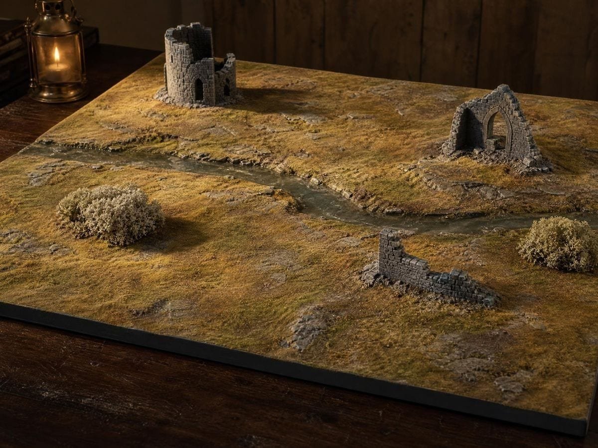
I draw the region first and grid it afterwards. Being able to slide the hexes until a river runs along cell edges rather than through cell middles is the difference between a map that plays and one that argues.
Flat-top, always, because my maps are organised north to south. Having it as a switch rather than a different sheet of paper is the reason I stopped buying hex pads.
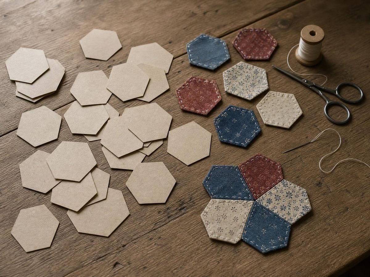
For piecing, the grid over a photograph of the layout tells me whether the fabric repeat lines up with the cell repeat before I cut anything.
Hexagonal grid: frequently asked questions
The geometry
What does the density number mean?
How many hexagons fit across the canvas's short side. Because it is measured on the short side, the same setting gives the same cell size whichever way the sheet is turned — a portrait sheet just gets more rows.
Why does the grid run off the edges?
On purpose. The overlay draws an extra ring of cells beyond every edge so the frame cuts through hexes, which is how a published map sheet looks and what lets you align a cell to a feature without a ragged row appearing opposite.
Using it
Can I align the grid to features on an existing map?
Yes, and that is the usual workflow. The overlay has its own transform, so drag, scale and rotate it until the cells fall where you want them relative to the terrain, rather than redrawing the map to suit a fixed grid.
How do I align the grid to features on an existing map?
Scale until the hex size matches the map's own scale bar, then drag so a hex centre sits on a landmark you want centred. Rotation is rarely what you want — a hex grid at an angle to the map is much harder to describe positions on.
Export and print
Can I make printable hex paper with it?
Yes, and it is one of the better uses. Start on the blank canvas, set the paper format you will print on, choose the density, and export at 300 or 600 DPI. You get hex paper at exactly the cell size you asked for on the sheet size you asked for.
Can I use it for hex graph paper for chemistry?
Yes. Ring structures are drawn on the same lattice, and a higher density setting gives the small cells that suits. Export as SVG if you want to drop the grid into a document as vector.
Can I export it as an SVG?
Yes. Vector export scales to any sheet size without the lines thickening, so one file serves both a notebook-sized map and a table-sized one. Raster export goes to 600 DPI at your chosen paper format.
Can I print hex paper at a specific hex size?
Yes, though it is set by density rather than by a millimetre value here: the count across the short side determines the size, so measure a printed sheet and adjust. For a precise pitch, the graph paper generator takes a spacing directly.
Will the SVG work for a cutting machine?
Yes — the hexagons export as real closed paths, so a cutter follows six straight edges rather than tracing a raster's stair-stepped approximation of them. Decide whether you want the cells cut apart or the lines scored before you send it.
Choosing a grid
Why use hexagons instead of squares?
Because all six neighbours of a hexagon are the same distance away. On a square grid the four diagonal neighbours are 1.414 units off while the four orthogonal ones are 1 unit off, so any rule about movement or adjacency has to compensate. Hexes remove the problem rather than patching it.
What is the difference between pointy-top and flat-top?
A thirty-degree rotation, with real consequences. Pointy-top gives flat rows, so movement is clean east-west and staggered north-south; flat-top gives flat columns and reverses that. Choose whichever matches the axis your map is organised along.
Why do I get more cells across when I switch to flat-top?
Because the cell size stays the same while the packing changes. A flat-top hexagon is wider than a pointy-top one of the same size and its columns interlock more tightly, so a density of 10 gives 10 pointy-top hexes across the short side and about 11.5 flat-top ones. If you are working to a cell size rather than a cell count, nothing changes.
Should I use hexes or squares for a tabletop map?
Hexes for overland movement, squares for interiors. A hexagon has six neighbours all at the same distance, which removes the diagonal-movement problem entirely; a square grid is easier to draw walls and doors on, and buildings are rectangular.
Practical matters
Does my map get uploaded?
No. Everything happens in your browser — the image is drawn to a canvas on your own device and never sent anywhere. There is no account and no upload step.
Can I use it for chemistry diagrams?
Yes. Hexagonal paper is the traditional sheet for drawing ring structures, and generating it sets the ring size to suit the drawing rather than whatever the pad came as. Print at 100% so the rings stay the size you set.
Can I use maps made with it in a published game?
Yes. A hexagonal lattice is not a licensable asset, exports carry no watermark, and the terms leave your map with you.
Open the tool Hex grid generator
Six neighbours, all one step away
The hexagonal grid takes two decisions: pick the orientation, set the density. Slide it onto your terrain and export vector or 600 DPI. No signup, nothing uploaded.
Back to the generator →